
Brief Description and the work performed by Resensys
Case definition: Scour is the leading bridge failure reason for concrete bridges and 58% of bridge failures in the US are due to hydraulic conditions (Source: FHWA). More than 30 bridges of California have been monitored by Resensys monitoring system.
Problems:
- Erosion of soil surrounding the bridge foundation (piers and abutments)
- Fast-moving water around the bridge removes sediment from around the bridge foundation, leaving behind scour holes
- Changes in pier orientation
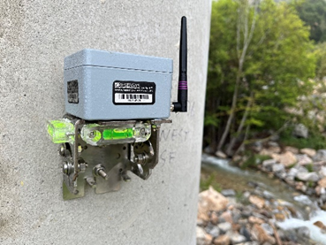
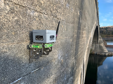
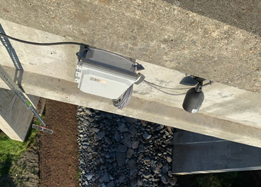
How to address the problem: Resensys wireless monitoring systems have been deployed in a bunch of bridges in California and based on the monitoring needs of each bridge:
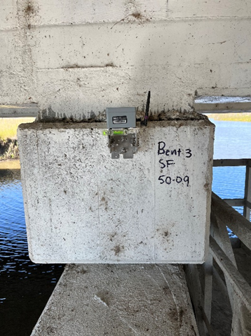
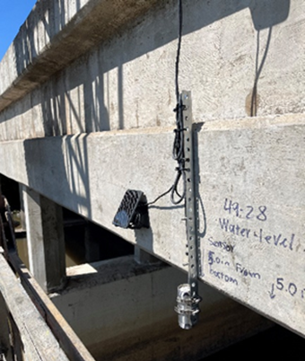
- Wireless scour probe: measures soil/sediment level (detect erosion)
- Wireless level sensor: detects flood
- Wireless camera: provide visual feedback
- Wireless tilt meters: monitoring stability of piers, abutments, detects settling
Results:
- Detecting over inclination of piers (with the resolution 0.00016 degrees) as an early result and indication of hydraulic damage to prevent road/bridge closure and/or expensive repairs.
- Monitoring water level constantly to notify authority about possibility of flood.
- Detecting erosion around piers at early stages enable authorities to repair the bridge sooner.
- Providing complete condition awareness of bridges, and particularly help to allow quick assessment of conditions after severe floods.
- Detecting immediate effect of extreme events (e.g., earthquake) at the structural behavior of the bridge at piers, cracks, etc.

| OWNER | California Department of Transportation (Caltrans) |
| SERVICE PROVIDED | Scour Critical Bridge Monitoring of more than 30 bridges |
| DURATION | 2013-Present |
| SALIENT FEATURES | Remote Monitoring System Monitoring of piers, water level, and visual monitoring for scour condition |
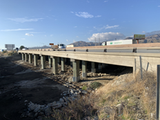
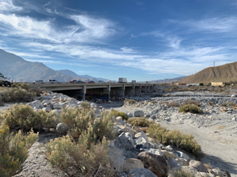
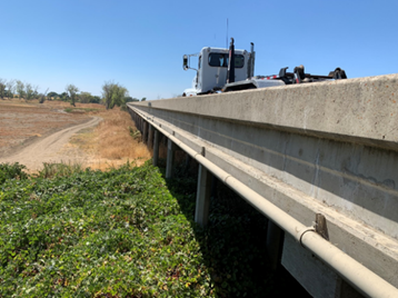
I-10 over San Gorgonio Wash (Bridge No. 56-0003)
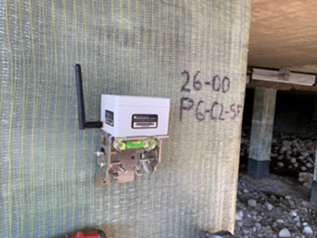
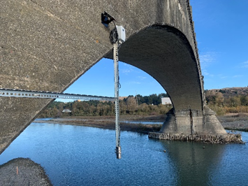
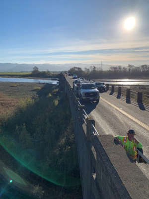
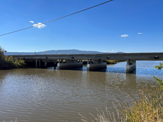
Photo Gallery
(Bridge No. CA 07-0007)
(Bridge No. CA 56-0004L/R)
(Bridge No. 07-343404)
)